
Tailored Drone Solutions for Every Mission
At DroneWays, we deliver smarter, faster, and data-driven drone solutions that empower businesses to see beyond limits.
"Schedule An Instant Appointment Booking With DroneWays"
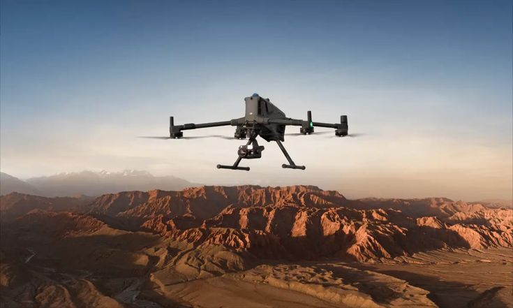
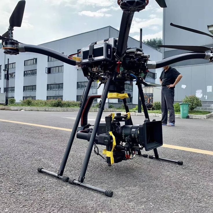
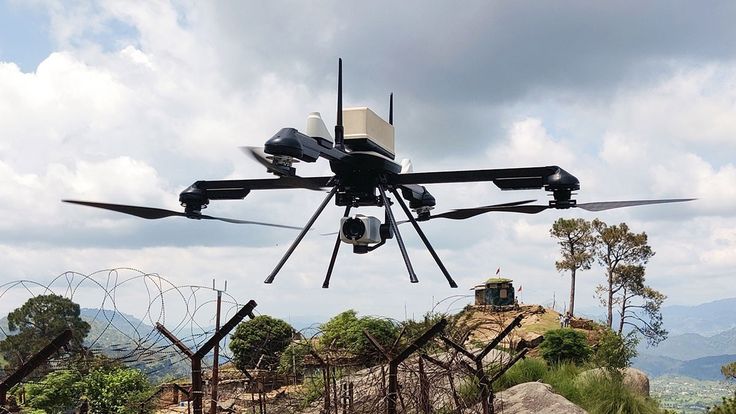
DJI MATRICE 400 & 4TD
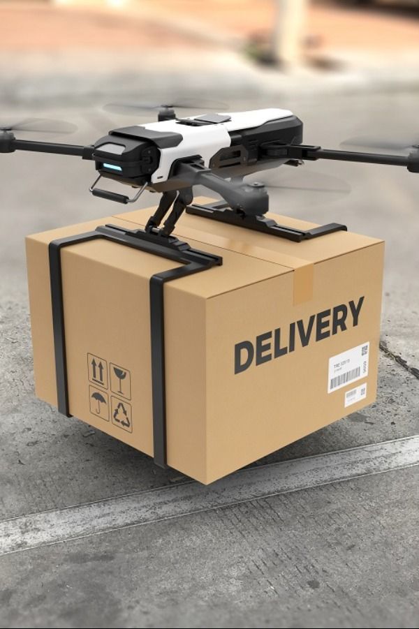
RPA & DELIVERY SOLUTION
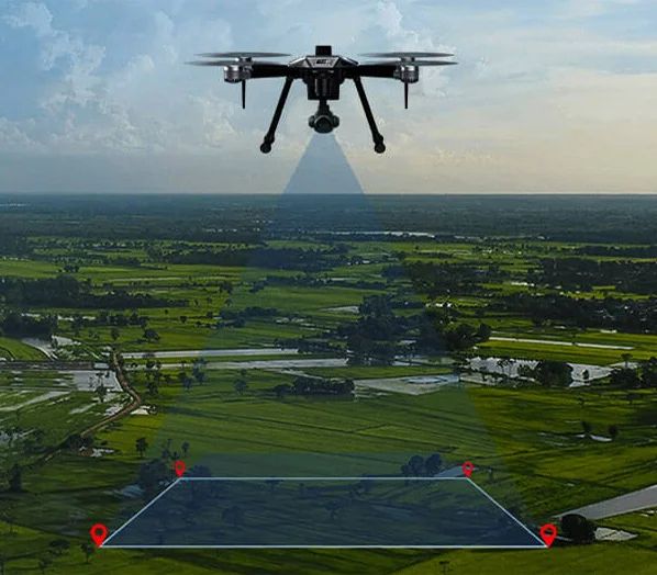
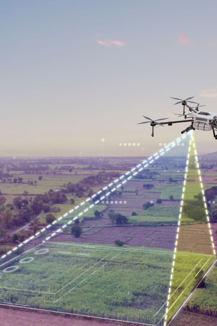
PHOTOGRAMETRY

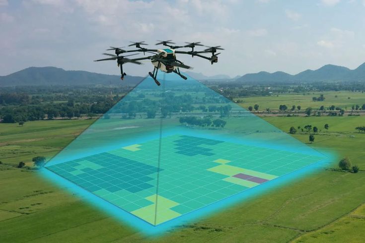
LIDAR MAPPING
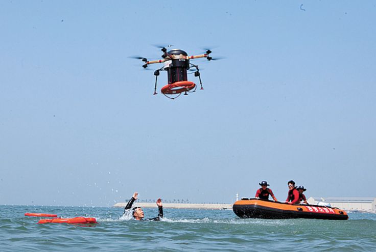
SEARCH & RESCUE
FILM & MOVIE COVERAGE
PROJECT INSPECTION

CARTOGRAPHY
Our Services
DroneWays Aus Founded with a passion for innovation, DroneWays was built to transform how businesses capture and use aerial data.
From land mapping to infrastructure inspection, we combine certified expertise, advanced drone technology, and seamless data integration to help you make informed decisions with confidence.
Aerial Mapping & Surveying
DroneWays delivers precise aerial mapping and land surveys that help you see every detail from above. Using advanced drone technology, we capture high-resolution geospatial data for smarter planning, accurate measurements, and seamless project execution — whether for land development, agriculture, or construction.
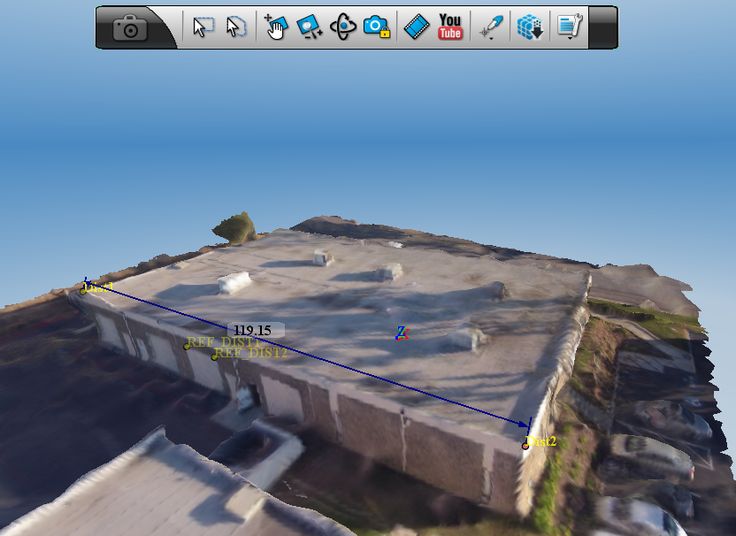
3D
Modeling
Transform flat data into reality. With DroneWays, you get high-definition 3D models that bring your projects to life — from buildings and terrains to complex infrastructure layouts. These detailed digital twins help you visualize designs, detect issues early, and present your work with confidence and precision.
Inspection &
Monitoring
Monitor your assets safely and efficiently from anywhere. Our drones perform real-time inspections of rooftops, towers, solar panels, and construction sites — capturing crystal-clear visuals and reports without the risk of manual climbs or downtime.
Data Analytics &
Reporting
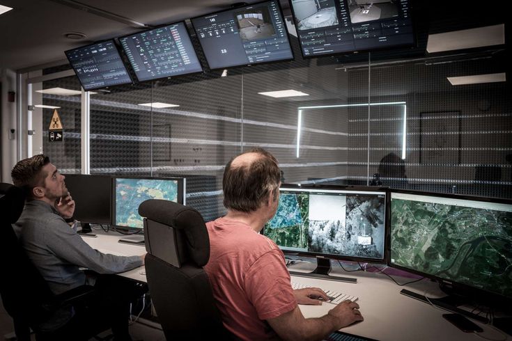
At DroneWays, we turn raw aerial data into actionable insights. Our analytics tools process and visualize your drone-captured information, helping you make smarter decisions faster. From progress tracking to resource planning, we simplify complex data into reports that actually make sense.
Aerial Mapping & Surveying
DroneWays delivers precise aerial mapping and land surveys that help you see every detail from above. Using advanced drone technology, we capture high-resolution geospatial data for smarter planning, accurate measurements, and seamless project execution — whether for land development, agriculture, or construction.
3D
Modeling
Transform flat data into reality. With DroneWays, you get high-definition 3D models that bring your projects to life — from buildings and terrains to complex infrastructure layouts. These detailed digital twins help you visualize designs, detect issues early, and present your work with confidence and precision.
Inspection &
Monitoring
Monitor your assets safely and efficiently from anywhere. Our drones perform real-time inspections of rooftops, towers, solar panels, and construction sites — capturing crystal-clear visuals and reports without the risk of manual climbs or downtime.
Data Analytics &
Reporting
At DroneWays, we turn raw aerial data into actionable insights. Our analytics tools process and visualize your drone-captured information, helping you make smarter decisions faster. From progress tracking to resource planning, we simplify complex data into reports that actually make sense.
Let's Get That Project Completed
For You!
Why Choose DroneWays
More Than Drone Shots We Deliver
Insights That Drive Progress.
Here’s what makes us different from just another drone service provider:

Certified Expertise
Our pilots are licensed professionals with deep experience in aerial mapping, surveying, and data management.

Precision Technology
We use the latest drone systems and sensors to ensure centimeter-level accuracy in every project.

End-to-End Solutions
From flight planning to data analysis, DroneWays manages the full process — so you can focus on your goals.

Transparent Reporting
Get clear visuals, measurable data, and easy-to-read analytics you can trust for real decisions.
Our success is measured by how clearly you see yours.
Why partner with DroneWays?
Choosing Drone Ways means choosing reliability, expertise, and quality.
Certified & insured drone pilots
Professional-grade equipment
Transparent safety procedures
Fast turnaround on reports & deliverables
Customizable data outputs
Competitive pricing
Dependable customer support
Ready To Start Your Project?
Whether you’re planning an inspection, survey, or specialized operation, Drone Ways is ready to help.
At DroneWays, we deliver precision, innovation, and data-driven drone solutions — from mapping and surveying to 3D modelling and aerial inspections.
Our Services
Drone Mapping
Aerial Surveying
3D Modelling
Data Analytics
Consultation