
Elevate Your Vision with DroneWays
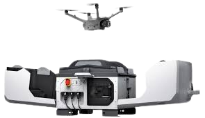
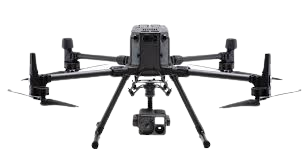
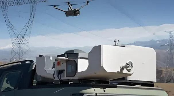
DJI Dock 3 RTK
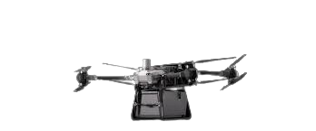
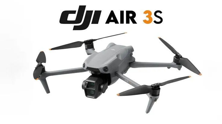
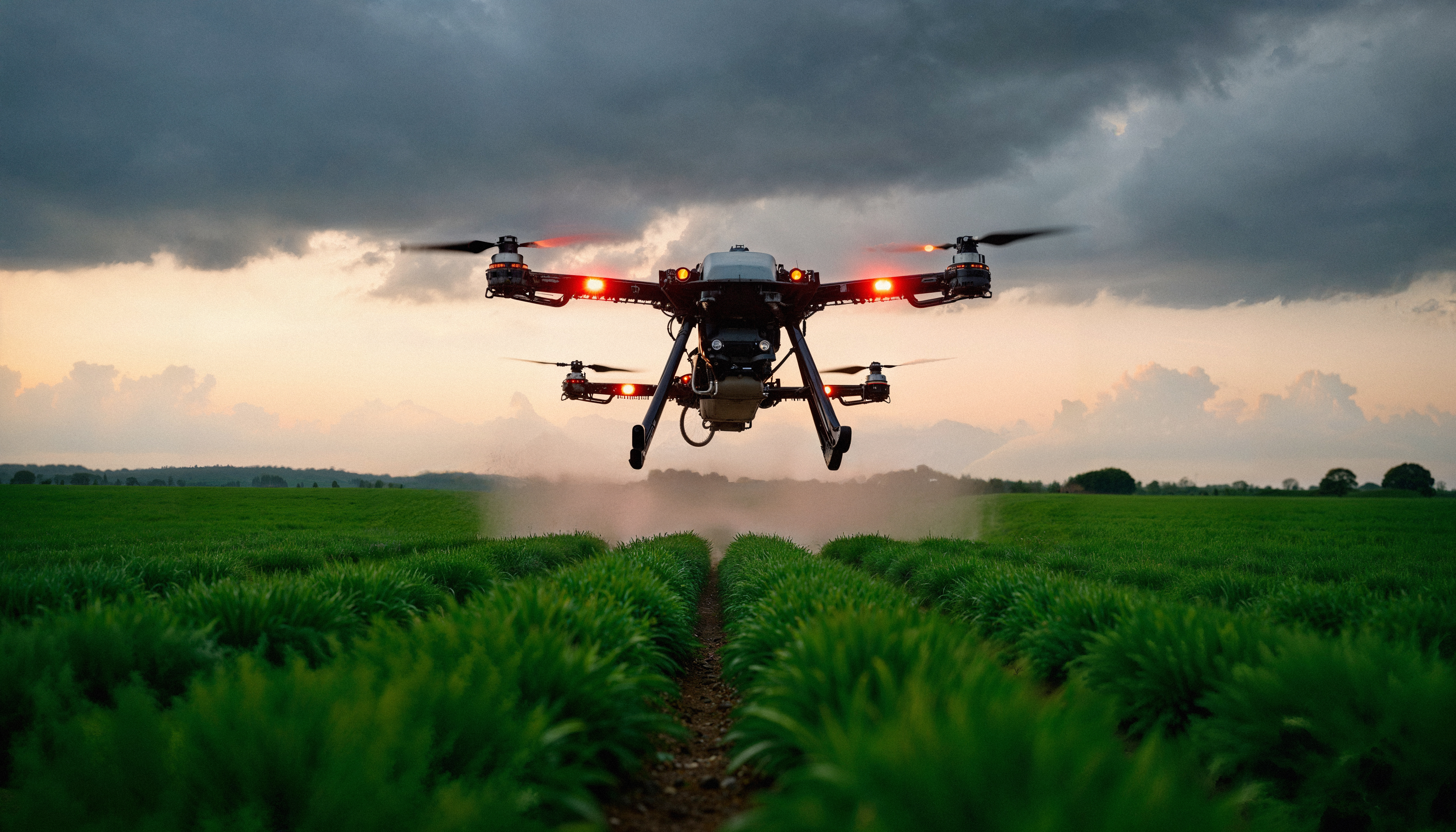
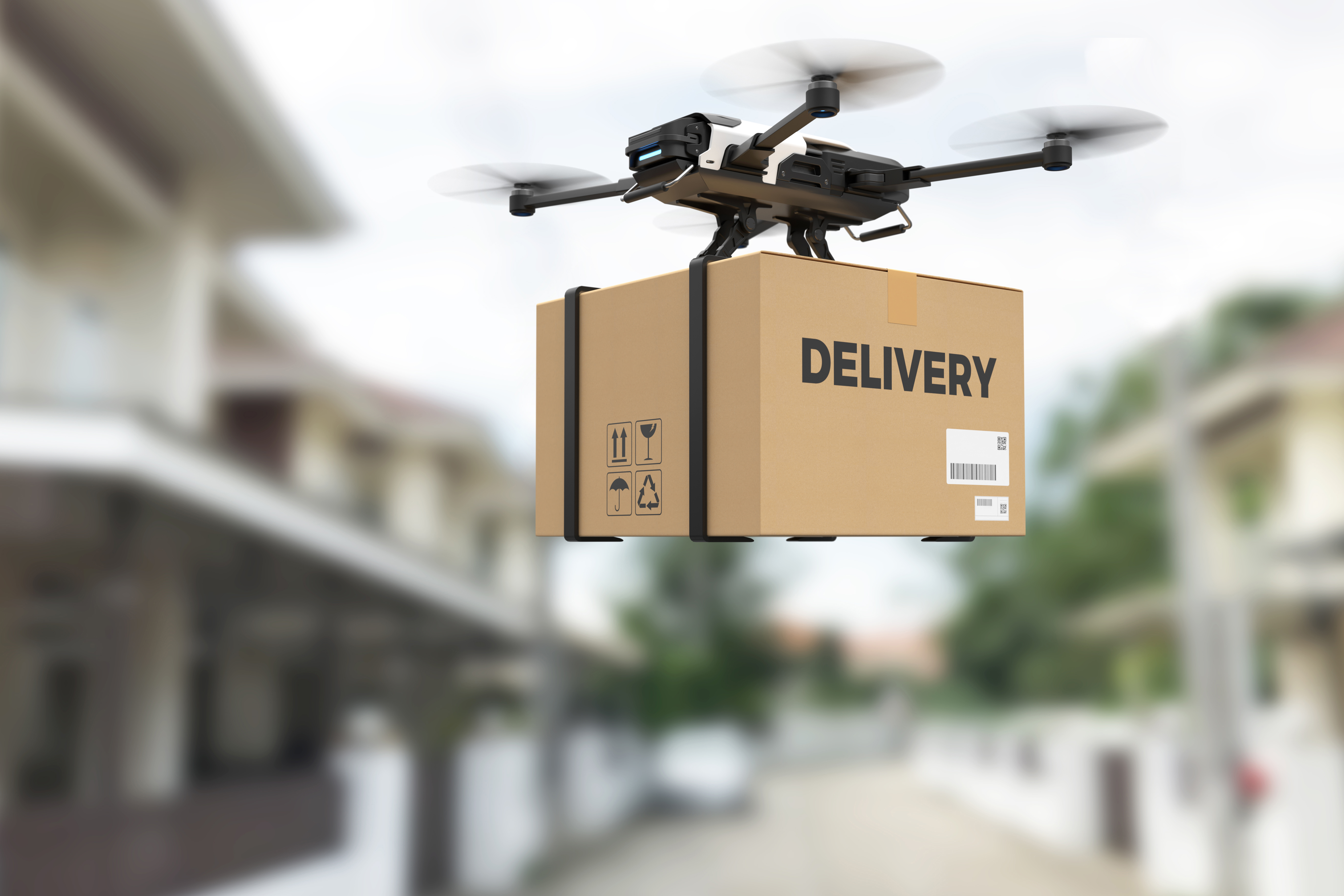
RPA/ Delivery Drone
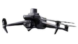
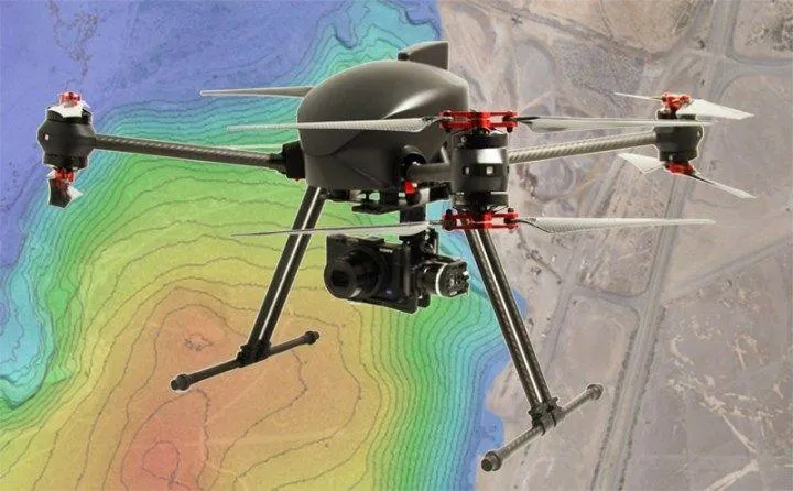
GIS & Cartography
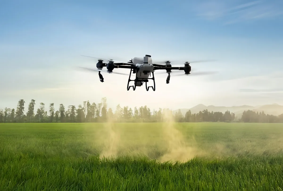
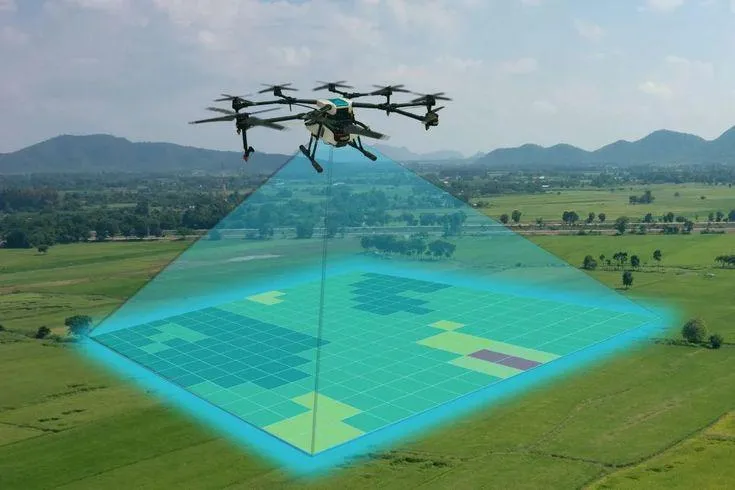
Aerial & Farm Overview
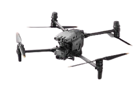
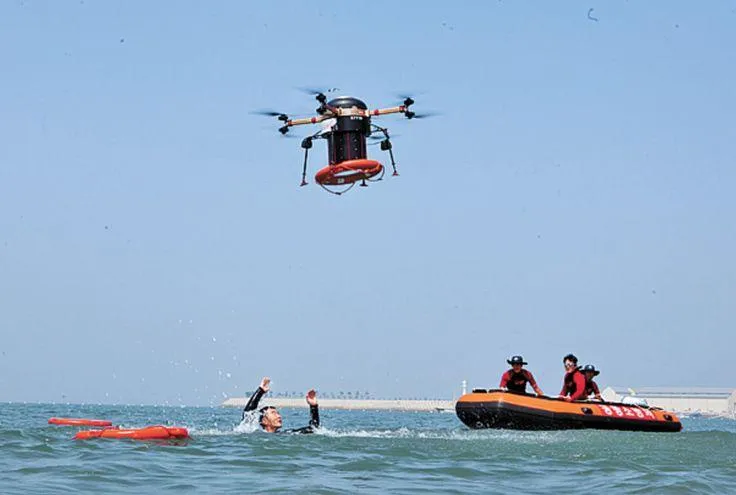
Search & Rescue Drone Operation
"Schedule An Instant Appointment Booking With DroneWays"
DroneWays Australia
At DroneWays, we make aerial projects simple, precise, and impactful from day one. With certified experts and smart drone technology, we turn mapping, surveying, and 3D modeling into clear insights that help your business grow. You focus on your goals — we’ll handle the aerial intelligence that gets you there.


In-Depth Market
Insights
Leverage high-resolution aerial data, photogrammetry, LiDAR, and topographic analysis to understand sites with accuracy and make informed, strategic decisions.
Aligned Project
Outcomes
Every mission is designed to align with your objectives—delivering precise data, clear visualizations, and actionable insights tailored to your needs

Strategic, Phased Operations
From flight planning to data processing, our phased approach ensures seamless execution at every stage, maximizing efficiency and project value.

Advanced Data
Analytics
Access detailed reports, 3D models, and interactive maps supported by cutting-edge drone technology, enabling real-time performance monitoring and smarter planning.
Unlock Smarter Decisions from Above with DroneWays
Elevate your insights with precision aerial data tailored to your needs.
Harness the power of cutting-edge drone technology to capture high-resolution imagery and real-time analytics. Whether for agriculture, construction, or surveying, DroneWays delivers actionable intelligence that helps you streamline operations, reduce risks, and make confident decisions from a bird’s-eye view.
"We Love our Clients, And They Love Us
“I appreciate your amazing services and professional staff for all your hard work and creative thinking! It was fun, and I hope to work with you again soon!”
Nicky Johnson
What Our Client Say!

"DroneWays made our wedding video epic! Their drone footage added that cinematic touch, capturing the venue from above in ways we never imagined. The pilots were discreet and fun to work with, and the final edit was breathtaking. Worth every penny for unforgettable memories!"
Mia Harris, Bride, Gold Coast, QLD

"As a construction manager, accuracy is everything, and DroneWays nailed it with their drone surveying services. They mapped our site in a fraction of the time it would take manually, spotting issues we might have missed. The detailed reports saved us time and money—highly recommend them for any project!"
Jack Wilson, Construction Project Manager, Melbourne, VIC

"I was blown away by how DroneWays transformed our real estate listings! Their aerial photography captured stunning views of the properties that ground shots just couldn't match. The team was professional, quick, and delivered high-quality images that helped us close deals faster. If you're in real estate, you need DroneWays in your toolkit!"
Lachlan Thompson, Real Estate Agent, Sydney, NSW


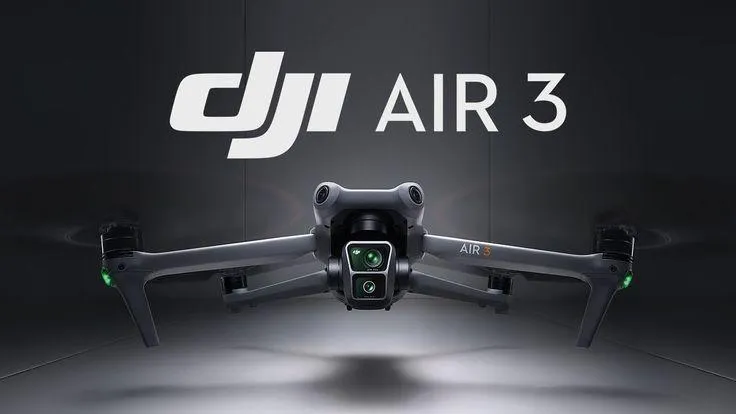
Advance Drone Technology Trends
Why Choose DroneWays
More Than Drone Shots We Deliver
Insights That Drive Progress.
Here’s what makes us different from just another drone service provider:

Certified Expertise
Our pilots are licensed professionals with deep experience in aerial mapping, surveying, and data management.

Precision Technology
We use the latest drone systems and sensors to ensure centimeter-level accuracy in every project.

End-to-End Solutions
From flight planning to data analysis, DroneWays manages the full process — so you can focus on your goals.

Transparent Reporting
Get clear visuals, measurable data, and easy-to-read analytics you can trust for real decisions.
Our success is measured by how clearly you see yours.
Why partner with DroneWays?
Choosing Drone Ways means choosing reliability, expertise, and quality.
Certified & insured drone pilots
Professional-grade equipment
Transparent safety procedures
Fast turnaround on reports & deliverables
Customizable data outputs
Competitive pricing
Dependable customer support
Ready to Start Your Project?
Whether you’re planning an inspection, survey, or specialized operation, Drone Ways is ready to help.
At DroneWays, we deliver precision, innovation, and data-driven drone solutions — from mapping and surveying to 3D modelling and aerial inspections.
Our Services
Drone Mapping
Aerial Surveying
3D Modelling
Data Analytics
Consultation